Manage booking
 66 km
66 km About 1 h
 Car 1–4 · Van 5–7
 Free cancellation 24 h
Capital area · from KEF
About Kjalarnes and the drive
Kjalarnes is the rural northern end of Reykjavík, a strip of farmland between the slopes of Mount Esja and the sea. It has been part of the city since 1998, but it feels nothing like it: a small village at Grundarhverfi, horse farms, a few guesthouses and wide views across the bay back to the capital. People come here for countryside accommodation close to town, for horse riding, or as a first stop on the way north and west.
The transfer from Keflavík is the longest within the capital area. After Route 41 across the Reykjanes lava fields and through the southern suburbs, the driver goes around Reykjavík, through Mosfellsbær and along Route 1 under the steep flank of Esja. North of Kjalarnes the road continues through the Hvalfjörður tunnel towards Borgarnes and the west, so if your accommodation is here you are well placed for trips to Snæfellsnes.
Esja is Reykjavík's local mountain, and its most popular trail starts at Mógilsá on the way in, with a café at the trailhead. Even a walk up the first section gives you a view over the city.

Seasons and roads
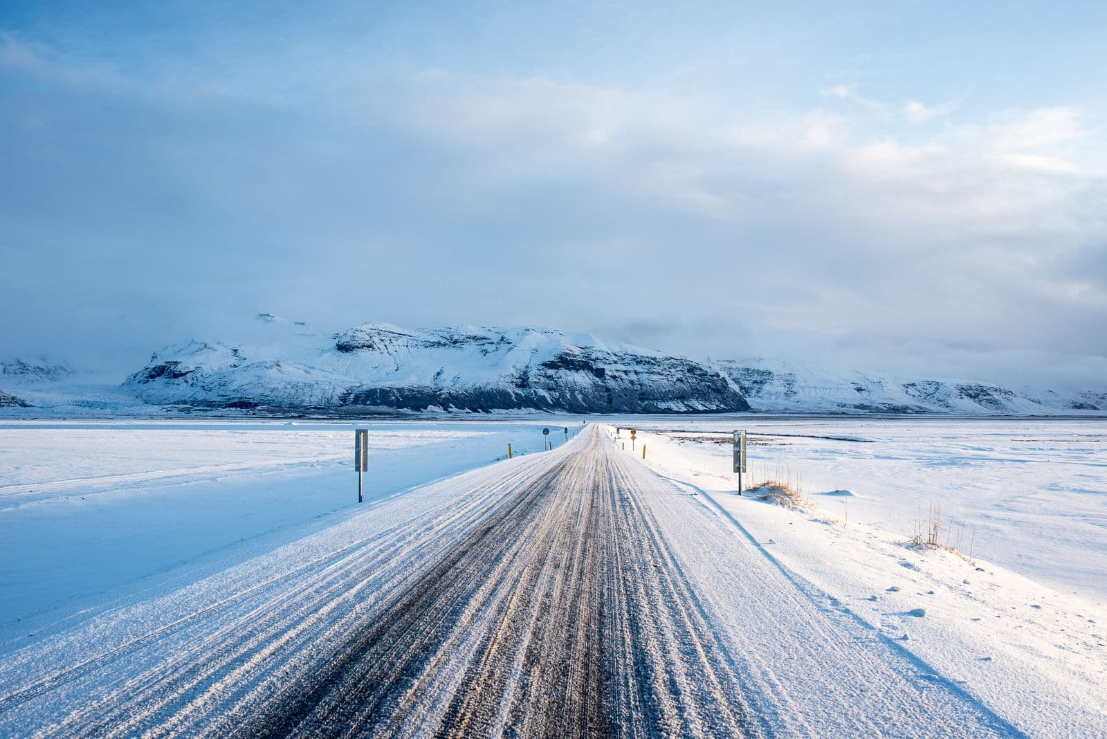
The stretch of Route 1 below Esja is known for strong wind gusts and is sometimes closed for a few hours in winter storms. We watch the forecast and road status and will contact you if timing needs to change.